Ok Mom, here we go—another dimension of our time here.
There are a few reasons for my lag in posting details of our travel through Israel. Yes, we have been doing a lot so time and energy are precious. But beyond that, we didn’t want to worry you as tensions have been escalating.
We deliberated heavily about following through with the journey we had planned. As our date of departure neared, tensions in the region were heightening. Conflict between Palestinians and Israel were heightening, with overt militant actions in The West Bank and Gaza Strip. Then, the swirl of tension intensified with civil unrest spurred by Prime Minister Netanyahu’s move to overhaul the judicial system. Thousands were protesting in the streets. It has been said by many to be the most tumultuous time in Israel since the most recent war—the Second Lebanon War—17 years ago. We were legitimately concerned, but having done what we could to assess the situation—including many exchanges and a video call with our guide—we decided to step forth and got on the plane.
Early in our time here we got some first hand context underlying current geopolitical dynamics. Day one, we headed North from Tiberias.
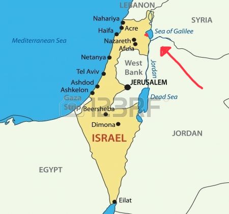
The northern area of Israel is referred to by the Israelis as The Golan Heights. Syrians and Lebanese have a different perspective, referring to the same area as “Israeli occupied (Syrian/Lebanese) territory.” These territory battles are relatively recent, and in the minds of many remain unresolved to this day.
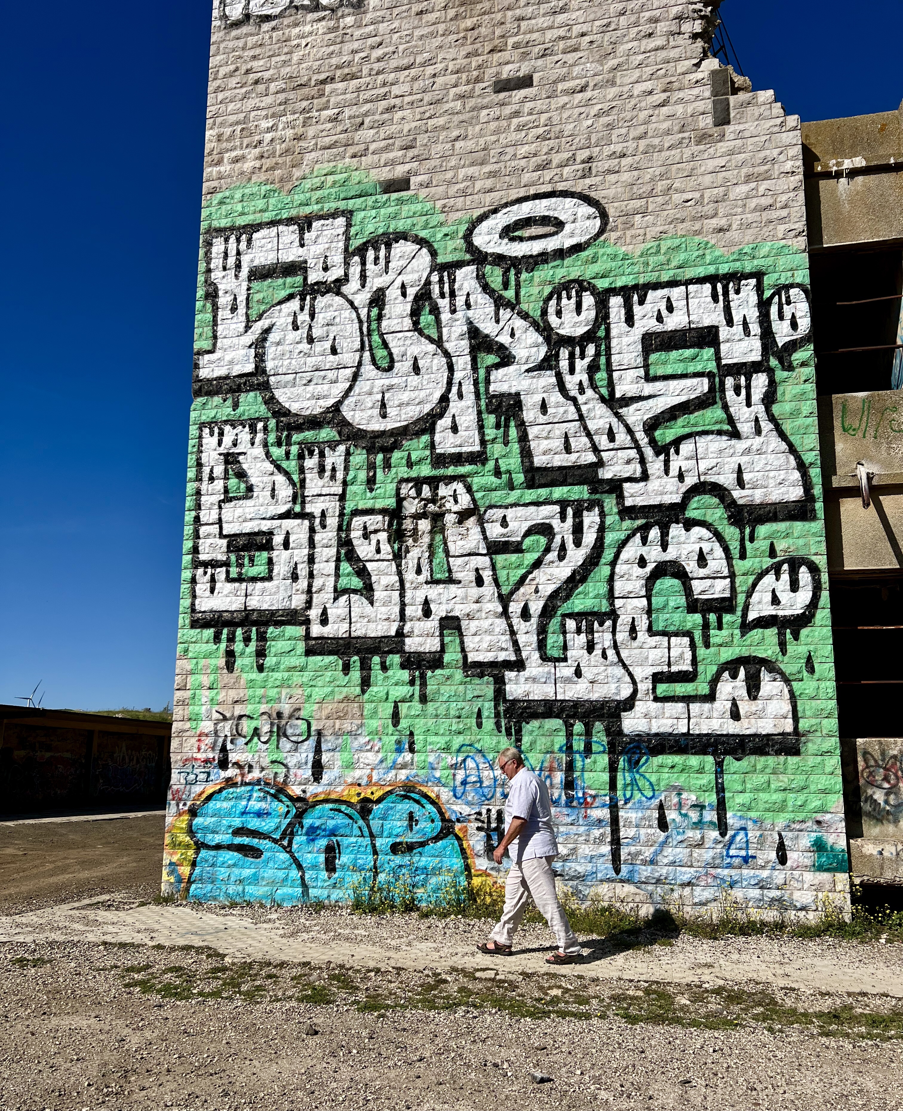
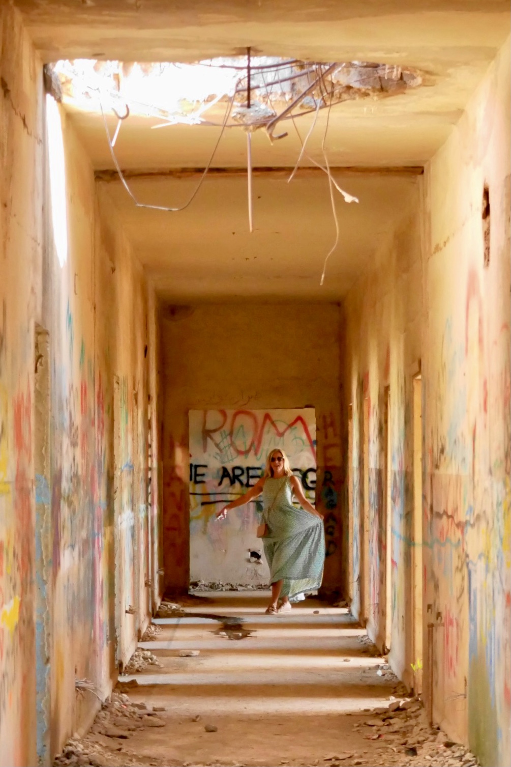
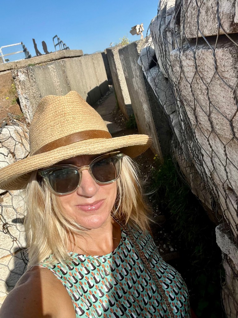
While there, we saw the remnants of war—bunkers, tanks, abandoned Syrian government buildings—and visited The Valley of Tears. All of it amid the current markers of conflict: military outposts, patrolled borders, defense system launch stations and armed military personnel.
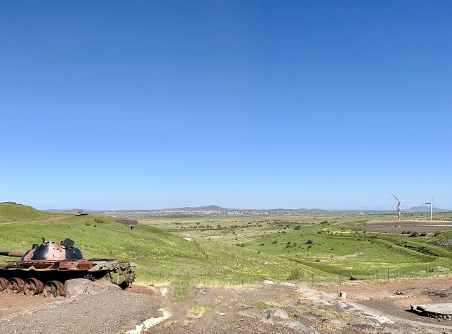

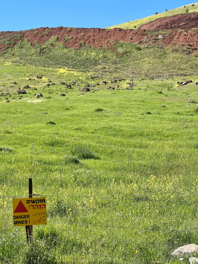
Perched on the rim of a dormant volcano, we walked through a former Syrian bunker from which we could see Lebanon and Syria to the North, and Israel to the South. The feeling of standing in an area still rife with conflict was notable, yet indescribable. Ominous, a bit daunting, even haunting. I felt a bit uneasy, yet fascinated.

Later that night things got real as I was awakened just after midnight by a loud rumbling that shook our hotel, rattling the coffee set up, water glass and other items on my nightstand. I thought it was an earthquake, having just learned of our proximity to the major fault that had been producing aftershocks since the quake in nearby Turkey. But the next morning I discovered that it was military jets executing a bombing just across the border from where we had spent the day in The Golan Heights.
“Alleged Israeli airstrike hits Syria, 4th in under a week”
https://www.jpost.com/breaking-news/article-736323
This occurred on the northern border, where Israel meets Lebanon and Syria, not far from Tiberius (where we were staying). Keep in mind one can travel the full distance of Israel, North to South, in the time it would take us to get to Chicago (about six hours).
I want to be clear, we were not directly in harm’s way. But this was the first of several stark reminders that people in this region live their daily lives with a level of direct, often military, conflict that we just don’t experience.
All of that said, know that we are safe. Though I have more to share with you about our continued journey through Israel, as I send this we have moved on from that leg of our journey.
We love you so much and think of you often.
XOXO,
Shannon & Dan
